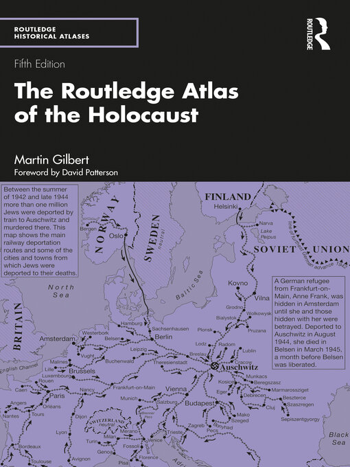
The graphic history of the Nazi attempt to destroy the Jews of Europe during the Second World War is illustrated in this series of 363 detailed maps. The maps, and the text and photographs that accompany them, powerfully depict the fate of the Jews between 1933 and 1945, while also setting the chronological story in the wider context of the war itself. The maps include:
This new edition now includes an additional 30 of Martin Gilbert's maps, with many additional camp and ghetto maps, further illustrating the layout and organization of some of the most significant towns and cities affected by the Holocaust, especially useful to those visiting the sites.
